
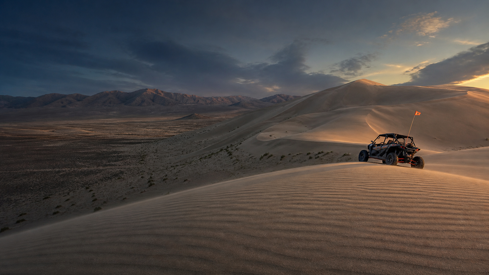
Fallon, Nevada · BLM public lands
600 feet of sand.
Free on Tuesdays.
Fees are waived every Tuesday and Wednesday, year round. Live wind, passes, primitive camping, maps, safety, Fallon fuel, and the practical details that turn U.S. 50 into a dune weekend.
4,795 acres600 ft landmark duneTue & Wed fee free
Sand Mountain on film
Wake the Mountain.
Halloween at Sand Mountain, told as a music video. The scenes are a creative dramatization, not current riding conditions. Watch here, then send the link to your crew.
The live ride console
Know before U.S. 50.
Current data where available. Direct official checks everywhere else.
Live weather, fire restrictions, and Nevada fuel context load here. Official planning links remain available if a live feed cannot respond.
The permanent answers
Simple facts. No scavenger hunt.

Dune Guide USA Radio Network
The dunes have a soundtrack.
Original destination songs, Dusty Roads, remixes, and a few questionable sponsors.
Listen here ♫Save it before you leave cell service. Your ride can have a soundtrack too.
Free Dune Guide USA Arcade
A little sand.
A lot of adventure.
Your next dune trip can start with a little play. Explore the available Dune Guide Adventures, choose a vehicle, and catch some air in the free network Arcade.
Sand Mountain Adventure available now.
Enter the free Arcade →Play in your browser. Virtual Adventures are for fun, not a substitute for current maps or riding rules.


Free safety tool Works beyond the bars
Mark camp.
Find your way back.
Save camp before you ride. Camp Compass uses GPS satellites to show the distance and direction back, even where cell service disappears. Your marked camp stays on this phone unless you choose to share it.
- Works offlineGPS does not need a cell tower
- One compassUse it at every Dune Guide destination
- Share your locationSend coordinates when help can reach you
Set it up before the trip. Installation needs a signal.
Build the weekend
Start with the question you have.
01
Where do we camp?
Designated sites, facilities, busy weekends, and what the desert will not provide.
02What do we need?
Passes, registration, whip flags, and official sources worth saving offline.
03What is it like?
The open dune, protected routes, group protocol, and the 600-foot reality.
04What if it is our first trip?
A practical sequence from fueling in Fallon to the first orientation loop.
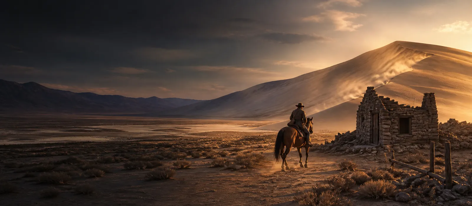
Not just another dune
Sand that sings.
A route that carried history.
A Pony Express station stood here in 1860, then vanished under the sand until 1975. Ancient Lake Lahontan, a dune that booms, and a butterfly that lives on this mountain and nowhere else on Earth.
Read the story